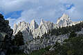
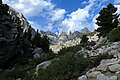
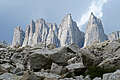
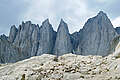
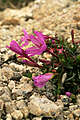
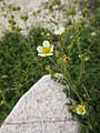
August 30, 2017: Mount Whitney (Inyo National Forest, California)
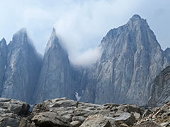
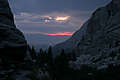
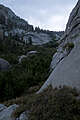
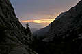
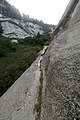
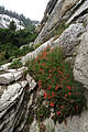
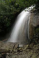
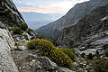
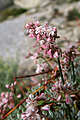
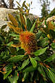
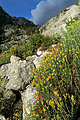
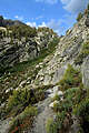
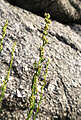
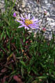
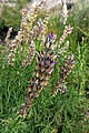
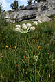
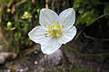
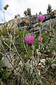
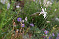
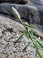
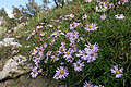
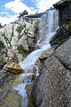
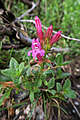
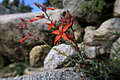
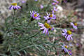
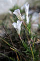
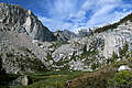
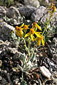
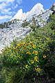
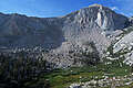
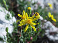
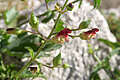
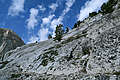
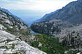
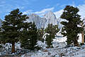
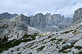
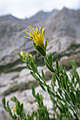
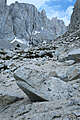
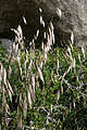
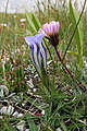
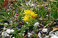
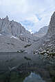
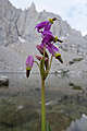
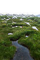
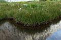
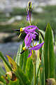
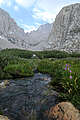
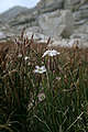
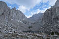
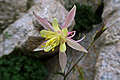
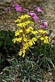
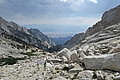
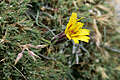
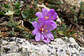
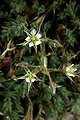
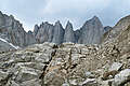
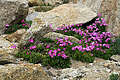
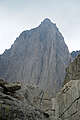
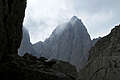
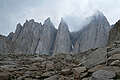
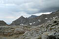
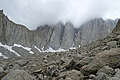
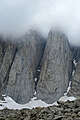
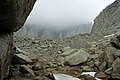
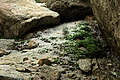
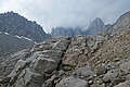
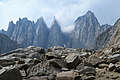
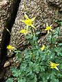
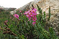
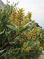
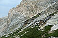
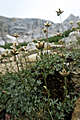
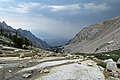
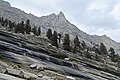
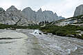
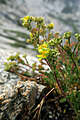
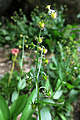
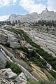
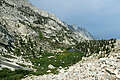
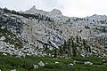
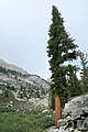
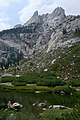
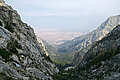
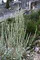
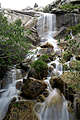
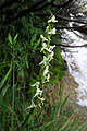
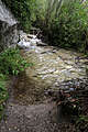
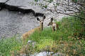
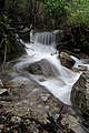
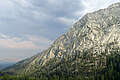
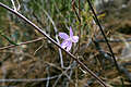
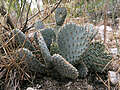
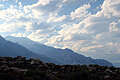
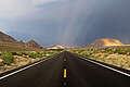
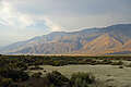
The plan was to summit Mt. Whitney (14,505') via the 5-mile Mountaineer's Route, then descend on the 11-mile Mount Whitney Trail. Unfortunately, there were thunderstorms along the Sierra crest on the day of my hiking permit, so I only made it to about 12,200', and I had to go back down the way I came. At least there were lots of wildflowers. Here's a map and elevation profile, and a video of the thunderstorms.
All content is the property of Adam Schneider. If you'd like to use any of these images in an on-line or published work, contact me at . Larger, un-watermarked versions of most photos are available.


 .
.
The plan was to summit Mt. Whitney (14,505') via the 5-mile Mountaineer's Route, then descend on the 11-mile Mount Whitney Trail. Unfortunately, there were thunderstorms along the Sierra crest on the day of my hiking permit, so I only made it to about 12,200', and I had to go back down the way I came. At least there were lots of wildflowers. Here's a map and elevation profile, and a video of the thunderstorms.
(Three years later, I finally made it to the summit.)