
|
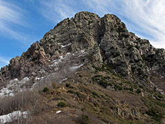
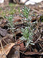
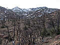
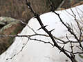
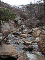
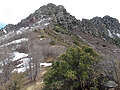
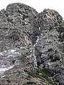
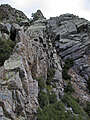
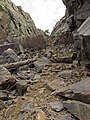
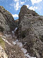
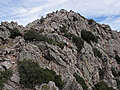
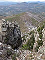
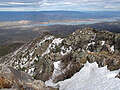
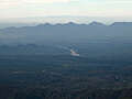
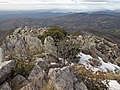
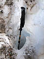
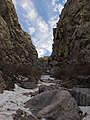
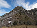
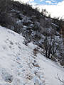
This trip (map) was full of unpleasant surprises. First, the dirt road to the trailhead (18 miles each way) was really awful. Then, despite record heat in Arizona the preceding week, I found patches of snow all the way down to trailhead elevation (5700'), and I'd neglected to bring gaiters. Then I tried to take a shortcut around the east side of the mountain and was thwarted by deep snow and thick manzanita patches. I finally found the "normal" chute that leads up to the summit, but it was filled with snow, meaning I had to either post-hole up the middle, climb up the sides, or a little of each. I reached the top (7657'), but it was exhausting; I ended the day almost two hours behind schedule and with soaking wet feet.


 .
.