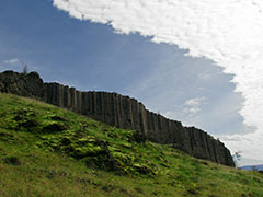
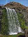
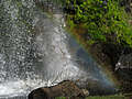
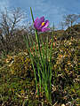
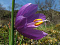
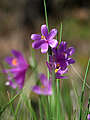
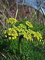
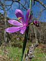
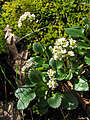
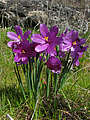
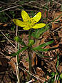
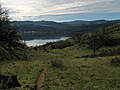
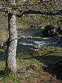
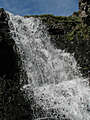
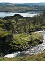
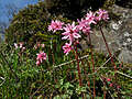
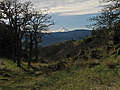
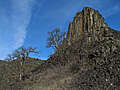
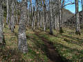
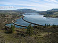
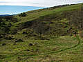
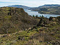
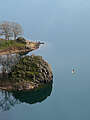
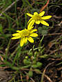
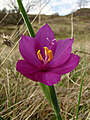
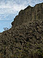
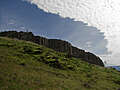
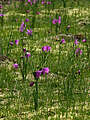
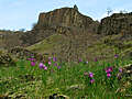
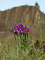
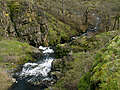
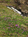
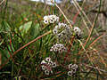
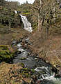
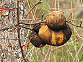
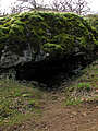
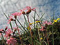
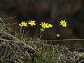
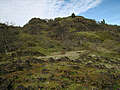
February 28, 2010: The Labyrinth (Columbia River Gorge, Washington)
"The Labyrinth" is the informal name for a lumpy patch of land between Rowland Lake and Coyote Wall, halfway between Bingen and Lyle on the Washington side of the Columbia River Gorge. An early start to the 2010 wildflower season... January and February were pretty warm, so most flowers were a little bit ahead of schedule. (Sadly, March through June reversed this trend, leading to a pretty lousy summer for wildflowers in the mountains.)
All content is the property of Adam Schneider. If you'd like to use any of these images in an on-line or published work, contact me at . Larger, un-watermarked versions of most photos are available.

 .
.
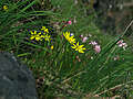
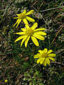
"The Labyrinth" is the informal name for a lumpy patch of land between Rowland Lake and Coyote Wall, halfway between Bingen and Lyle on the Washington side of the Columbia River Gorge. An early start to the 2010 wildflower season... January and February were pretty warm, so most flowers were a little bit ahead of schedule. (Sadly, March through June reversed this trend, leading to a pretty lousy summer for wildflowers in the mountains.)