August 28, 2008: Newton Clark Ridge (Mt. Hood Wilderness, Oregon)
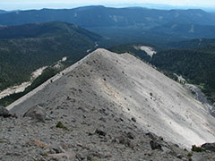
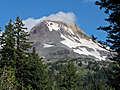
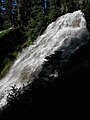
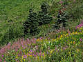
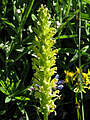
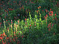
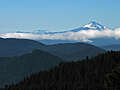
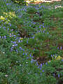
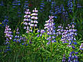
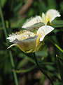
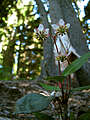
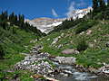
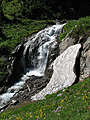
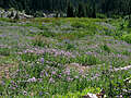
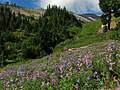
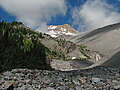
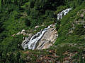
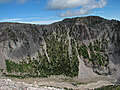
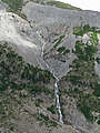
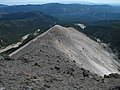
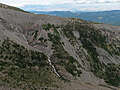
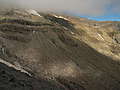
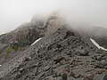
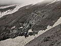
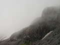
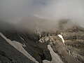
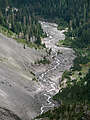
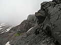
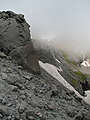
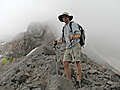
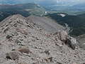
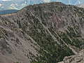
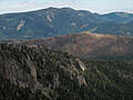
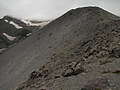
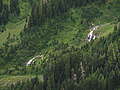
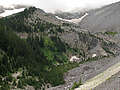
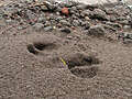
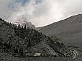
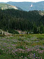
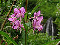
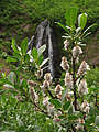
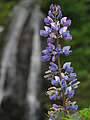
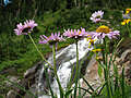
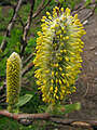
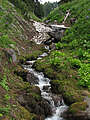
There's no official trail up Newton Clark Ridge; in fact, that might not even be the official name of the ridge, but it's between Newton Creek and Clark Creek (and below Newton Clark Glacier) on the east side of Mount Hood. To get there, I parked on the road to Mount Hood Meadows where the Umbrella Falls Trail crosses the road. I walked past Umbrella Falls, then through the ski area. I followed access roads up to the Timberline Trail, went northeast about two miles on the TT, then bushwhacked up through hemlocks and pines on the toe of the ridge. Once I was out of the trees, it was easy going up the rocky/sandy crest of the ridge. I turned back at about 7460', when I got to a massive boulder that was too big to comfortably go around.
All content is the property of Adam Schneider. If you'd like to use any of these images in an on-line or published work, contact me at . Larger, un-watermarked versions of most photos are available.


 .
.
There's no official trail up Newton Clark Ridge; in fact, that might not even be the official name of the ridge, but it's between Newton Creek and Clark Creek (and below Newton Clark Glacier) on the east side of Mount Hood. To get there, I parked on the road to Mount Hood Meadows where the Umbrella Falls Trail crosses the road. I walked past Umbrella Falls, then through the ski area. I followed access roads up to the Timberline Trail, went northeast about two miles on the TT, then bushwhacked up through hemlocks and pines on the toe of the ridge. Once I was out of the trees, it was easy going up the rocky/sandy crest of the ridge. I turned back at about 7460', when I got to a massive boulder that was too big to comfortably go around.
Click here for a map and elevation profile.