Adam Schneider's
digital photos
Text search:
Return to the photo index
Return to AdamSchneider.net
September 25, 2005: Gnarl Ridge (Mt. Hood Wilderness, Oregon)
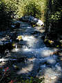
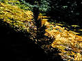
Clark Creek
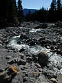
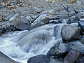
Newton Creek
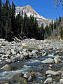
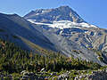
Mount Hood & Newton Creek
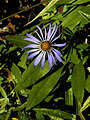
aster
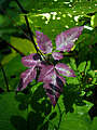
purple leaves
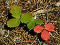
strawberry leaves
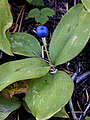
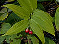
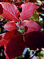
bead lily (Queen's cup) berry
starry false solomon's-seal berries
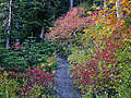
fern grove
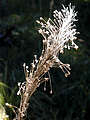
dried beargrass plume
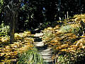
autumn meadow
pinesap
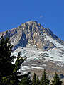
moon over Mount Hood
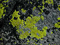
Lichen
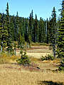
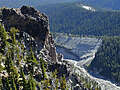
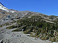
top of Newton Creek Canyon
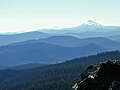
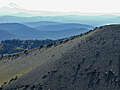
hazy High Cascades
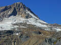
Mt. Hood's summit above Cooper Spur
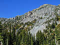
edge of Lamberson Butte
south side of Newton Creek Canyon
south side of Cooper Spur
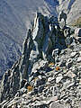
pinnacles of broken rock
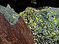
red rock & lichen
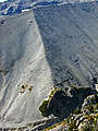
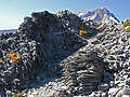
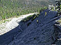
huge piles of shattered volcanic rock
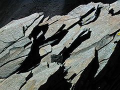
shattered plates of volcanic rock
view to the south across Newton Creek Canyon
mountain-ash leaves
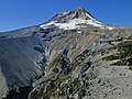
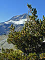
white-bark pine & Mount Hood
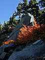
boulder and mountain-ash
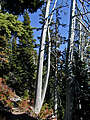
dead fir that looks like arm bones
Mount Hood & Newton Creek Canyon
Newton Creek
Gnarl Ridge & Lamberson Butte
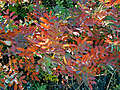
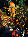
fall colors
south rim of Newton Creek Canyon
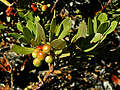
pine-mat manzanita berries
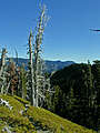
dead fir trees
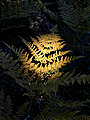
pine tree silhouetted against ferns
autumn fern
unripe huckleberry
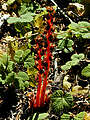
huckleberries ablaze (not literally)
All content is the property of
Adam Schneider
. If you'd like to use any of these images in an on-line or published work, contact me at
.
Larger, un-watermarked versions of most photos are available.


 .
.