
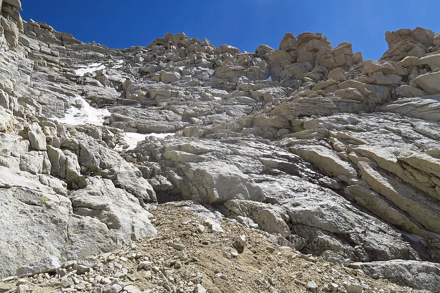
The "Final 400" scramble route
| Coordinates: 36.57924,-118.29364 | |
| Filename: 20200806-145829.jpg | 5472x3648 pixels, ISO 125, f4.5 @ 1/1250 sec |
 .
.
The "Final 400" scramble route
|
|||||||||
|
All content is the property of Adam Schneider. If you'd like to use any of these images in an on-line or published work, contact me at . |
|||||||||