May 16-19, 2016: Central & Southern Oregon

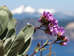
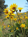
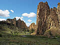
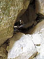
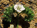
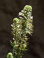
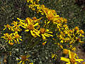
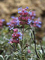
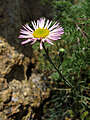
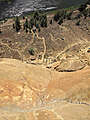
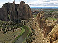
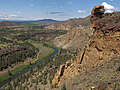
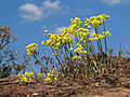
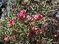
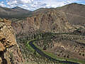
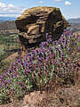
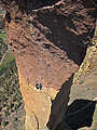
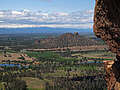
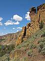
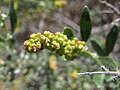
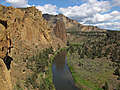
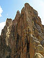
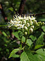
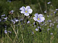
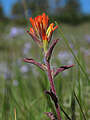
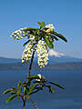
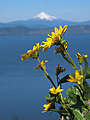
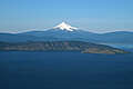
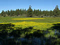
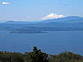
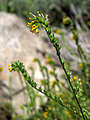
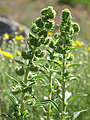
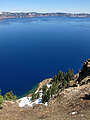
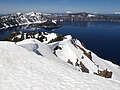
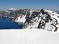
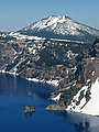
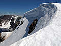
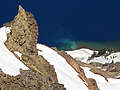
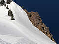
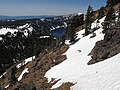
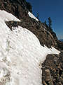
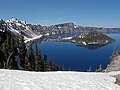
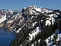
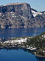
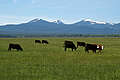
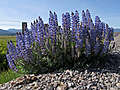
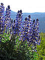
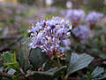
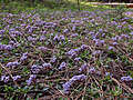
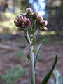
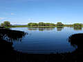
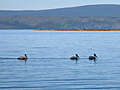
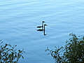
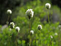
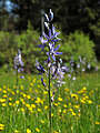
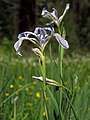
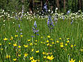
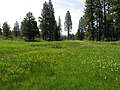
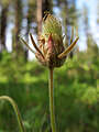
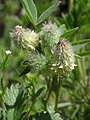
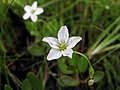
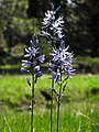
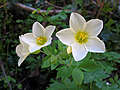
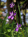
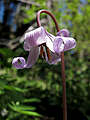
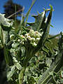
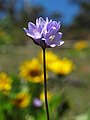
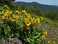
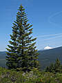
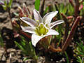
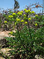
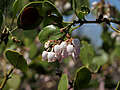
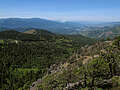
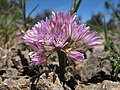
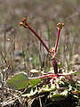
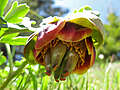
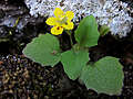
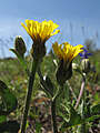
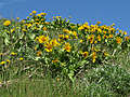
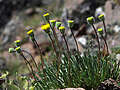
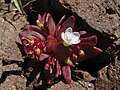
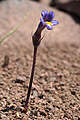
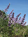
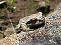
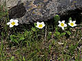
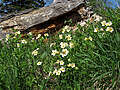
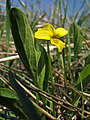
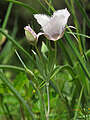
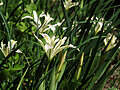
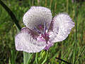
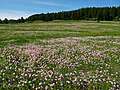
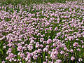
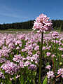
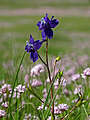
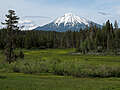
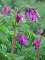
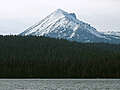
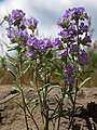
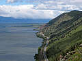
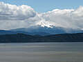
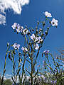
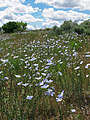
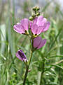
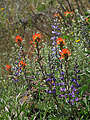
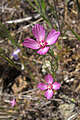
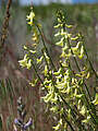
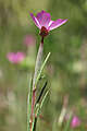
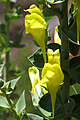
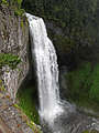
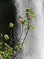
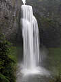
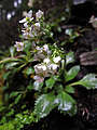
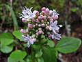
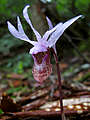
This was a three-night trip to Klamath Falls, Oregon. On my way down there on Wednesday, I stopped at Smith Rock State Park and scrambled up and over Misery Ridge and Asterisk Pass. Thursday, I found wildflowers on the Modoc Rim (on the east side of Upper Klamath Lake), then went up to Crater Lake and snowshoed to the top of Garfield Peak. Friday, I drove west on Green Springs Highway to the Cascade-Siskiyou National Monument (just east of Ashland) and explored Hobart Bluff and a little bit of the Soda Mountain Wilderness; I returned to Klamath Falls via Hyatt Prairie and Lake of the Woods. Saturday, I returned to Portland via Odell Lake and Salt Creek Falls along Highway 58.
Modoc Rim
Modoc Rim
Dry Lakes Flat
Dry Lakes Flat
Dry Lakes Flat
Dry Lakes Flat
Dry Lakes Flat
Dry Lakes Flat
Dry Lakes Flat
Dry Lakes Flat
Dry Lakes Flat
Forest Road 9718
Forest Road 9718
Garfield Peak Trail
Garfield Peak Trail
Garfield Peak Trail
Garfield Peak Trail
Garfield Peak Trail
Garfield Peak
Garfield Peak summit
Garfield Peak Trail
Garfield Peak Trail
Garfield Peak Trail
Garfield Peak Trail
Garfield Peak Trail
Discovery Point
Discovery Point
Nicholson Road
Hackler Road
Hackler Road
Crystal Springs DUA
Crystal Springs DUA
Crystal Springs DUA
Crystal Springs DUA
Crystal Springs DUA
Crystal Springs DUA
Crystal Springs DUA
Malone Spring
Long Prairie Creek
Long Prairie Creek
Long Prairie Creek
Long Prairie Creek
Long Prairie Creek
Long Prairie Creek
Long Prairie Creek
Long Prairie Creek
Long Prairie Creek
Tub Springs State Wayside
Soda Mountain Road
Pacific Crest Trail
Pacific Crest Trail
Pacific Crest Trail
Pacific Crest Trail
Pacific Crest Trail
Pacific Crest Trail
Pacific Crest Trail
Pacific Crest Trail
Hobart Bluff Trail
Hobart Bluff Trail
Hobart Bluff Trail
Hobart Bluff Trail
Hobart Bluff Trail
Hobart Bluff Trail
Hobart Bluff Trail
Hobart Bluff Trail
Hobart Bluff Trail
Hobart Bluff Trail
Hobart Bluff
Hobart Bluff
Hobart Bluff
Hobart Bluff
Pacific Crest Trail
Pacific Crest Trail
Pacific Crest Trail
west of the PCT
west of the PCT
west of the PCT
west of the PCT
west of the PCT
west of the PCT
west of the PCT
west of the PCT
west of the PCT
west of the PCT
west of the PCT
west of the PCT
west of the PCT
Soda Mountain Road
Old Hyatt Prairie Road
Dead Indian Memorial Road
Big Elk Road
Highway 140

[Geolocation map]


All content is the property of Adam Schneider. If you'd like to use any of these images in an on-line or published work, contact me at schneider pobox com. Larger, un-watermarked versions of most photos are available.